Saturday, August 27, 2016

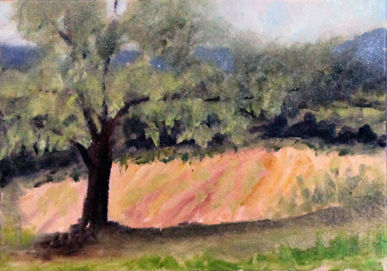
Burroughs:  The loose flow of the artwork below exhibits little connection to John Burroughs’ harsh words about the landscape of the upper Rondout.  In his essay, A Bed of Boughs, the Catskill naturalist wrote, “The scenery was wild and desolate in the extreme, the mountains on either hand looking as if they had been swept by a tornado of stone.”  Perhaps only the most astute observer might be able to locate this deeply shaded section of John Burroughs’ Rondout Creek.


Burroughs, 11x14:


Sunday, August 14, 2016

Woodstock School of Art:  During 2016’s summer, Lois attended a Woodstock School of Art workshop taught by Kate McGloughlin.  Various “plein air” landscapes were created from Hudson River valley and Catskill scenes, all depicted below.  These are quick studies of the countryside, each with a bit of history involved.

From Shultis Farm Road, in Bearsville--- a venerable Ulster County family name.

Mountain view, 10x8:


Shultis Farm Road, 8x10:


From Rokeby, or La Bergerie, in Barrytown, across the Hudson--- with many landowners from the Livingstons to the Astors.

La Bergerie, 10x8;


The shade tree: 8X10 (Sold):


From Weidner, or Hickory Hill farm in West Shokan--- with tentacles in the Hardenburgh Patent.

Hickory Hill Farm, 8x10:


Weidner barn, 8x10:


From Herrick’s bridge, in Saugerties--- an Ulster County family name that dates back to the founding of America.

Herrick’s field, 5x7:


Krummholz, 5x7 (sold):


Herrick’s red barn, 8x10:


Coxing Kill trout:  The Shawangunk Mountains--- or Gunks are they are known--- run from Kingston south to Port Jervis, the eastern ridge of the Appalachian Mountains.  While this name has a Dutch derivative, Native Americans referred to the Gunks as “smoky air.”

In Edward G. Henry’s handbook--- Gunks Trails--- the author wrote, “If the Shawangunks were said to have a heart, it would be the Trapps and Sky Top. … The Trapps titled, hard strata boldly rise from the small, glacier-enhanced gap.  The Delaware Indians used this mountain pass as a major war trail.  The Trapps is Dutch name meaning ‘staircase’, but the name was actually applied to a small settlement below the cliffs.”

Coxing Clove is centered by the Trapps and Sky Top; it was first settled in the late 1700s primarily by inhabitants of Dutch descent.  Lake Minnewaska is also found here, out of which drains a branch of the upper Coxing Kill flowing downstream through the glacier gap.  This lake was once known as Coxing Pond.

The Delaware Indians and Dutch are long since gone, as is the Trapps hamlet.  Perhaps today this area is best known for its world-class rock climbing, but brook trout are still to be found.

Coxing Kill trout, 11x14 (Sold):


The tailout:  Within the anatomy of trout streams, there is a section of water--- a flow, known as the tailout.  Typically this is found at the end of a pool.  Often it is shallow due to rocks and gravel that have settled here, and typically the current's speed gathers intensity as it passes through, onward to faster water downstream. 

One such tailout often gathering anglers' attention, and offering safe passage to Chimney Hole downriver, is the tailout of the Trestle Flat on Esopus Creek.

Tailout, 11x14 (DtC):